


Your phone as the camera Experimental
Take photos with a phone and they appear in the working area, with the locus and camera direction chosen on the phone. No app and no internet: the phone and the computer only share a Wi-Fi network.
 Digger
עברית
Excavation recording software
Digger takes an excavation from the first locus to the final report: plans, baskets, levels, sections, the Harris matrix, photos and the complete excavation file, all in one project on your own computer.
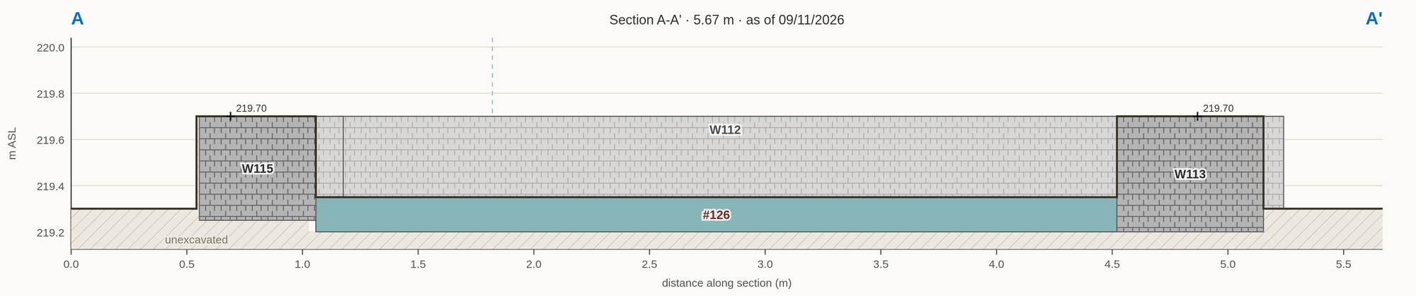
Every excavation is its own story and every archaeologist has their own way of telling it. That’s why Digger is designed with flexibility in mind. In Digger, you can split the window into as many areas as you want and choose what each area displays. View the plan, Harris Matrix and a cross-section side by side, or put the plan on the whole screen.
Recording shouldn’t be the slow part of the day. One key picks a tool, snapping lands the point where it belongs, and Digger fills in what it can already work out.
Readings and photos go straight into the record, where you’re working, instead of waiting in a notebook or on a memory card.
Take photos with a phone and they appear in the working area, with the locus and camera direction chosen on the phone. No app and no internet: the phone and the computer only share a Wi-Fi network.
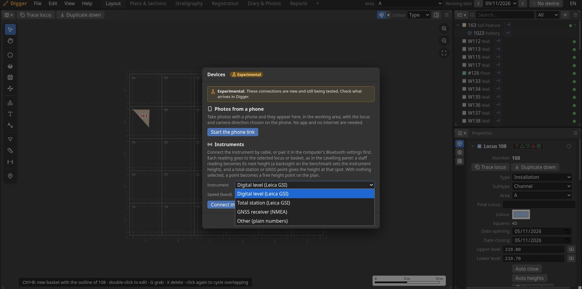
Leica GSI (GSI-8 and GSI-16) over a cable or Bluetooth. Each reading goes to where you’re working.
NMEA position, height and fix quality, with the antenna height taken off when you take a point.
Total-station and GNSS CSV with column mapping and reprojection. Point codes do the rest: L205T is a top level, L205B a bottom level, L205P builds the outline.
Bring in orthophotos and scanned plans, DXF, GeoJSON and Shapefile. Send out GeoJSON for QGIS or ArcGIS, DXF for AutoCAD, and CSV for spreadsheets.
These live connections are new and still being tested. Check what arrives in Digger.
Everything an excavation file needs, connected. When you change a locus the plan, spreadsheets, cross-section, and matrix all follow.
Drop a scan or an orthophoto on the plan, then move, scale and rotate it, or georeference it from control points.
Draw a line anywhere on the plan to explore your site.
Get a broad view of the relations of your loci, editable and automatically updating.
Loci and baskets spreadsheets to give you a deep, broad view of your data.
Set direction, mark your loci or annotate on an image.
A diary that summarises itself and a ‘what’s missing’ log to speed up your workflow.
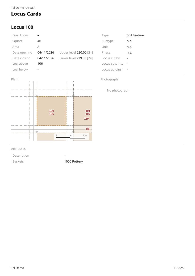
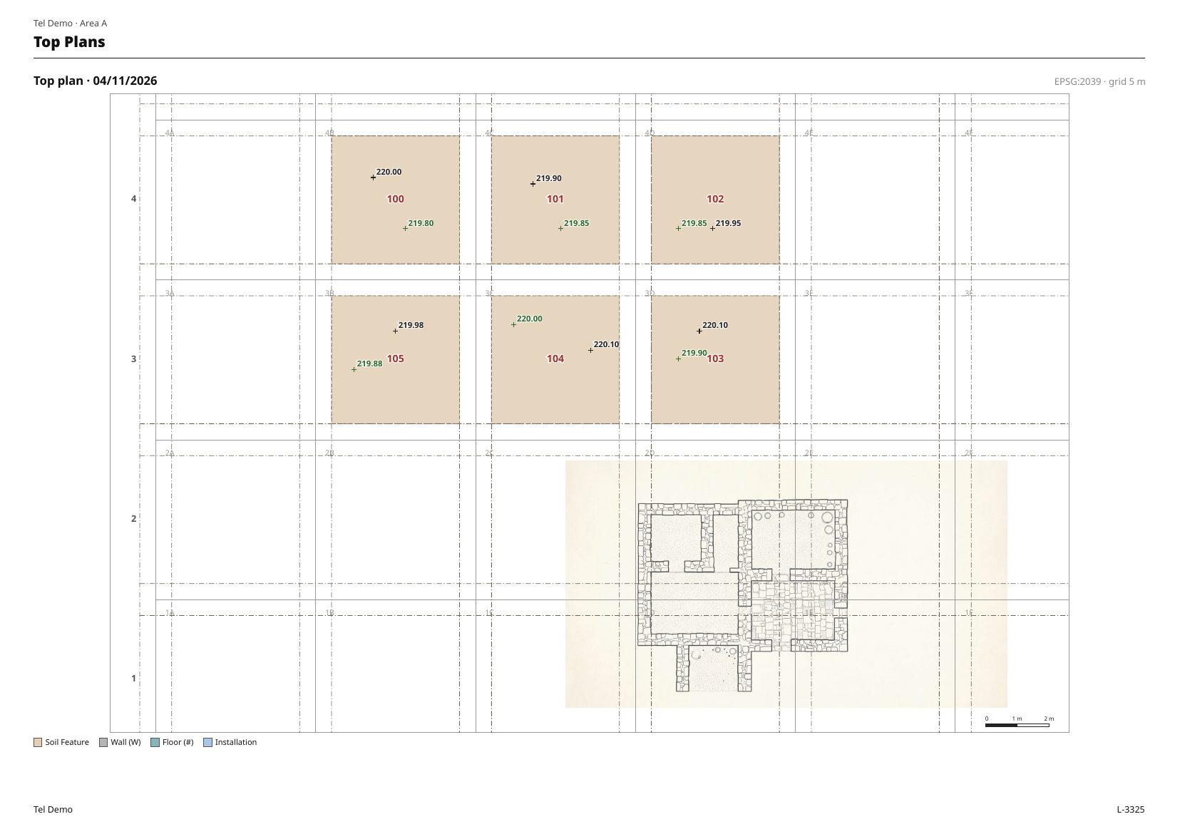
Locus List, Basket List, Locus Cards, Diary, Photo Album, Top Plans, Sections and Harris Matrix, as PDFs with your excavation’s name on every page.
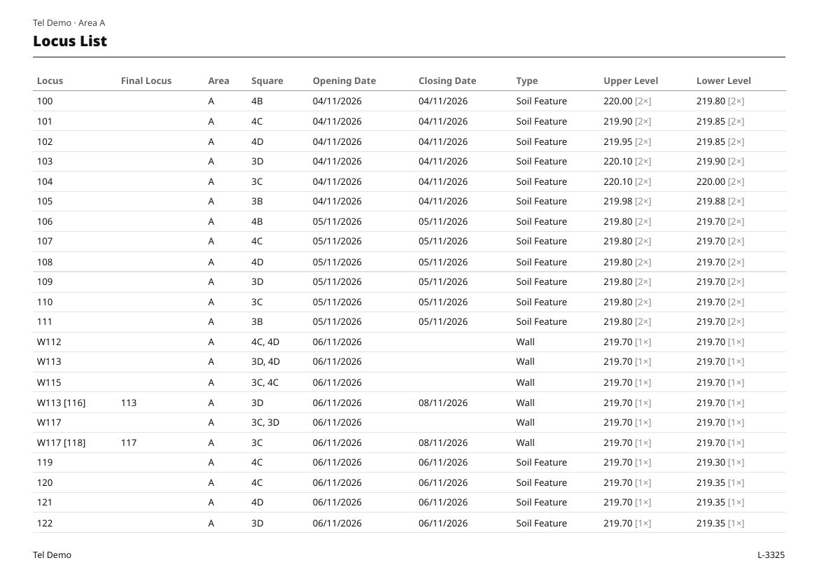
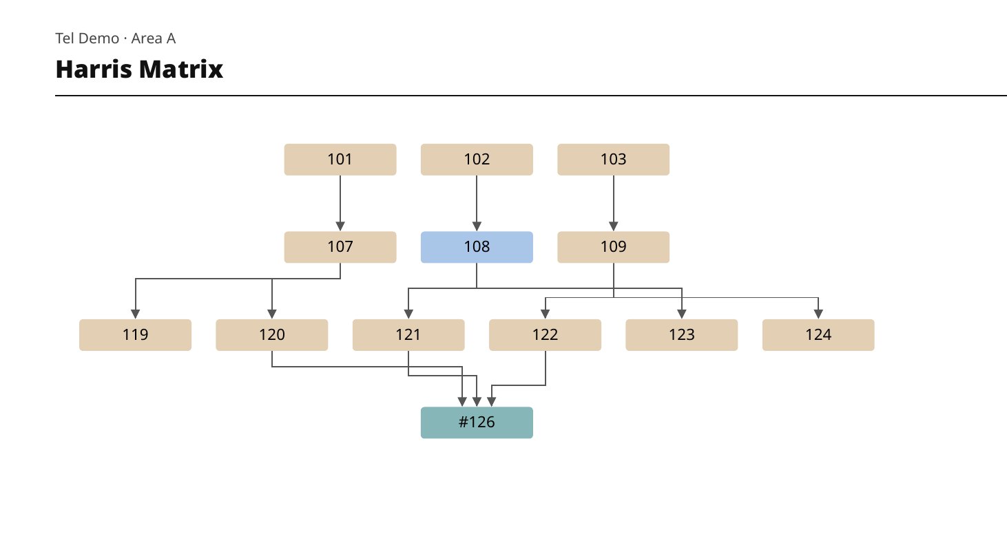
Digger now has two ways to record, chosen when you create an excavation. Locus is the system this site shows. Context is single-context recording, as used on many European excavations.
The Context method is experimental. It follows published British recording manuals and hasn’t been reviewed by working archaeologists yet, and practice varies by country and unit. The clips on this page show the Locus method.
A project is one SQLite file with a media folder beside it. SQLite can be read with any SQLite tool, so your record never depends on Digger.
Digger does not require an internet connection to function, so working deep in the field is uninterrupted.
Timed backups every 1–4 hours and one more on closing.
English, Hebrew with full right-to-left layout, French, German, Italian and Spanish. Reports follow the interface language.
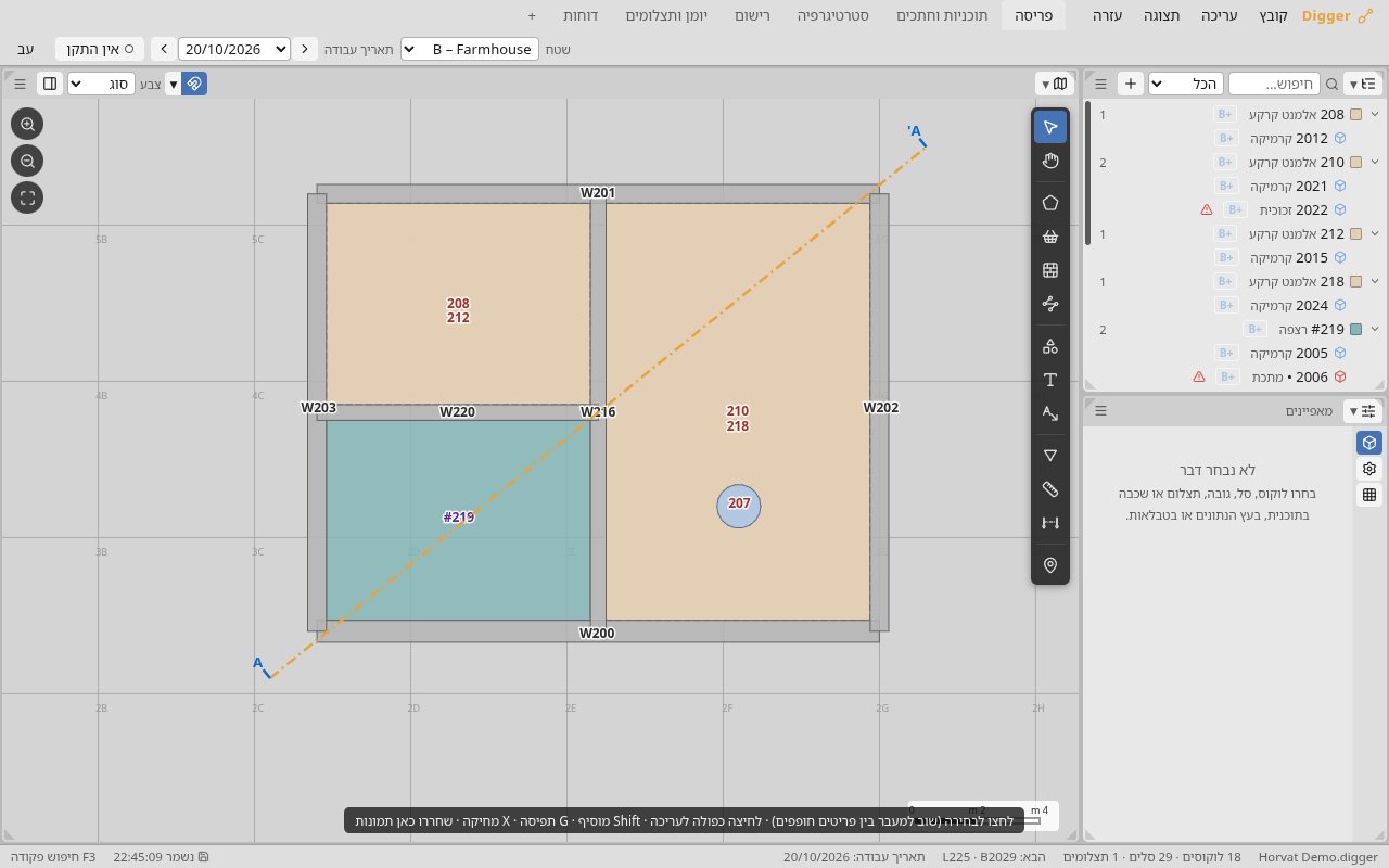
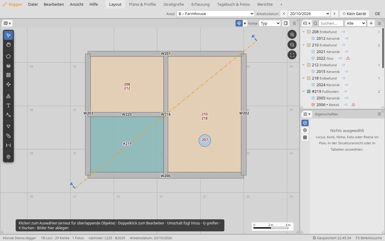
The Demo and Student editions are for trying and learning. Each edition opens only its own project files. You can download the Demo with the buttons below the table. For the Student edition, email dumpsterfirestudio.art@gmail.com.
| Digger | Student | Demo | |
|---|---|---|---|
| For | Real excavations | Learning and teaching | A first look |
| Loci / contexts | Unlimited | Up to 75 | Up to 16 |
| Baskets / finds | Unlimited | Up to 150 | Up to 21 |
| Photos | Unlimited | Unlimited | Up to 10 |
| Areas | Unlimited | Unlimited | One |
| Report PDFs | Clean | Watermarked | Watermarked |
| Commercial or field use | Yes | No | No |
The full edition is coming soon. dumpsterfirestudio.art@gmail.com
Windows and Linux. There is no Mac version at the moment.
No. Digger works entirely offline and has no account. The phone link only needs the phone and computer on the same hotspot network.
The Locus method follows the site, area, square, locus and basket system used on excavations in the Levant. The Context method, which is experimental, follows single-context recording as used on many European excavations. You choose one when you create an excavation and can’t change it afterwards. Both let you add your own types and fields.
Yes: the project is an open SQLite file, and every table exports as CSV. Plans export as GeoJSON and DXF.
The live links to instruments and phones are marked experimental in the program itself, so check what arrives. CSV import is the established route.


